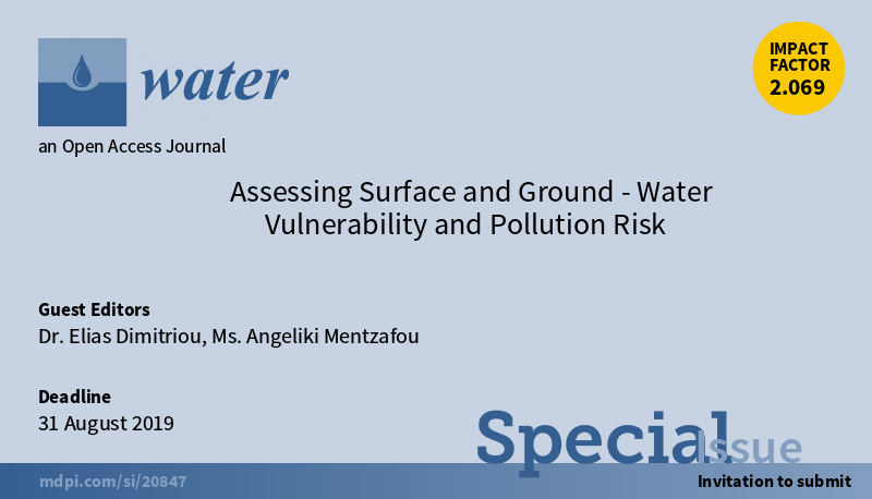
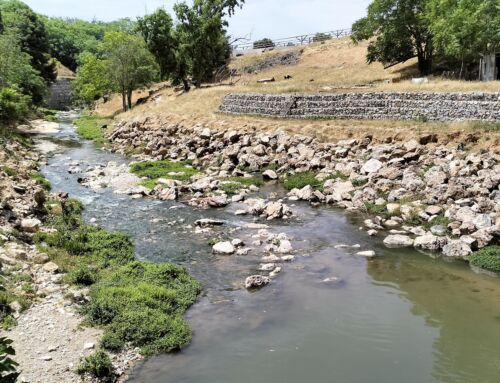
Surface and Ground- water vulnerability assessment is a useful approach for identifying pollution pressures effectively and applying protection and restoration measures in water bodies. There are many different methods for assessing and mapping water vulnerability and pollution risk, for example, using Geographical Information Systems (GIS), numerical models, statistical indices, in-situ measurements, etc.
Today, water vulnerability assessment is used worldwide for various purposes including policy making, land use planning, granting water-related infrastructure permits and developing water management plans.
