Scientific tools developed under various research projects
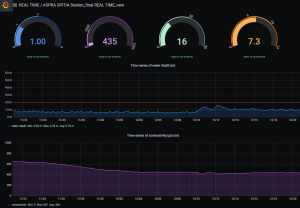
It includes data from automatic, telemetric stations, for water quality and quantity of Greek rivers. The database is updated every hour and includes measurements of water level, pH, temperature, dissolved oxygen and electric conductivity.
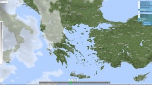
It includes weather forecasts in different mapping formats for Greece and Mediterranean basin. It also includes meteograms and hydrologic information in selected basins.
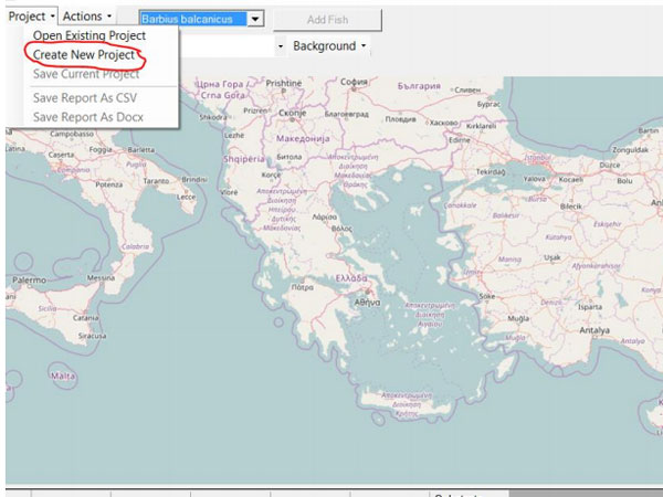
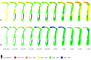
Estimation of environmental water requirements in Mediterranean Rivers based on fish species
It estimates the groundwater vulnerability based on COP method by using topographic, geologic, lithologic and soil maps. It also estimates the Groundwater pollution risk for any catchment within Greece. It is a ArcGIS 10 tool.
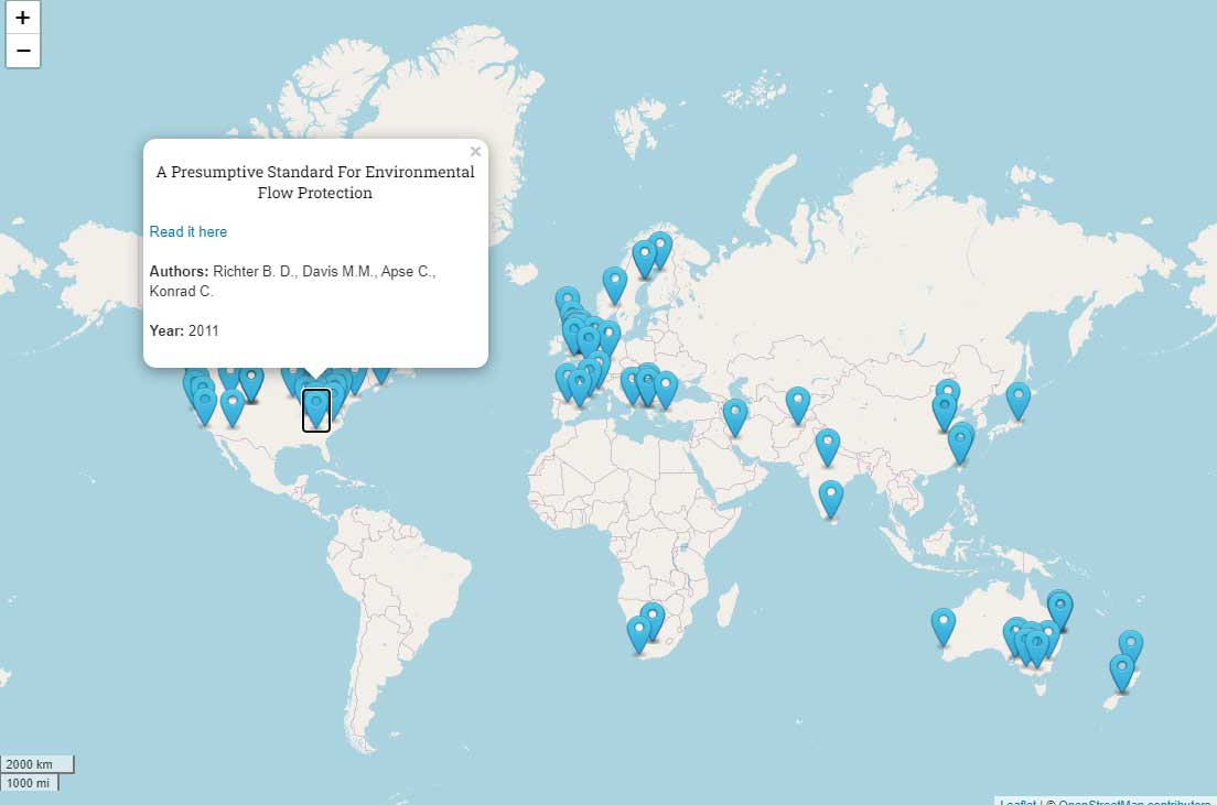
It is a web based geodatabase for ecological flow bibliography from around the world, developed under the project ECOFLOW (www.ecoflow.hcmr.gr)