Morphological configuration, geophysical investigation and sediment quality assessment of Lake Vegoritis.
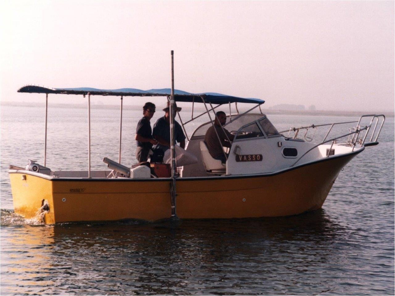
The Region of Western Macedonia and the Prefecture of Florina contracted the former Institute of Inland Waters to study the causes of the recent dramatic water level reduction of Vegoritis Lake and assess sedimentation rates and the environmental status of lake sediments.
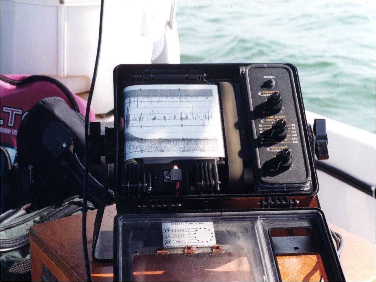
The lake’s water level reduction was attributed to water overexploitation for hydropower production and intensive irrigation. More than 200 km of high resolution Boomer seismic profiles provided valuable data on the lake evolution and lake bottom structure. The lake has amassed on average 15-20 m of sediments since the end of Wurm Glacial Period with a mean sedimentation rate of about 1m/kyr. 210Pb geochronology applied on a sediment core yielded maximum sedimentation rate of 0.4cm/y for the time before 1956 and 0.6cm/y since 1956.
The later is attributed to the dramatic man-induced lowering of the lake level by more than 30m between 1956-1990. 24 lake bottom samples were collected and analyzed for their grain size, as well as for their mineral, organic matter, major element, heavy metal, pesticide and PCBs content. The origin of heavy metals has been attributed to specific geogenic and anthropogenic (coal combustion and fly ash deposition) sources.
Finally, the biological and chemical quality of the polluted river Soulou, the main hydrological source of Vegoritis L., was carried out. Despite the anthropogenic disturbance, the levels of micropollutants were low, possibly due to the low retention time of lake water and the recent increase of sedimentation rates.