
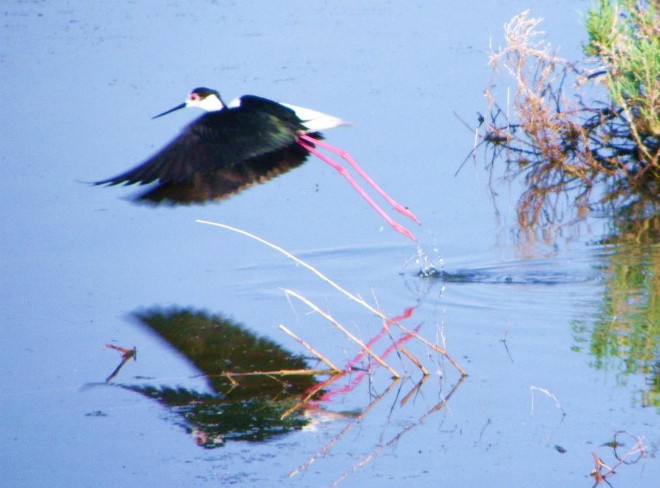

HCMR and local Cypriot researchers have completed the first inventory of wetland habitat sites on the island, in support of biodiversity conservation.
This survey utilizes images of a newly launched sensor, Landsat 8, to rapidly identify inland lentic water units and produce a screening-level island-wide inventory of all wetlands larger than 0.2 ha. The method treats all lentic water bodies (artificial and natural) and areas holding semi-aquatic vegetation as “wetland sites”. The remote sensing and GIS application are efficient tools for this initial screening-level inventory but many days of exploring and ground-truthing across the island have also been invested.
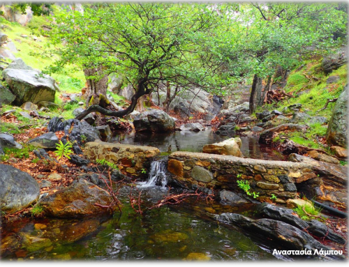
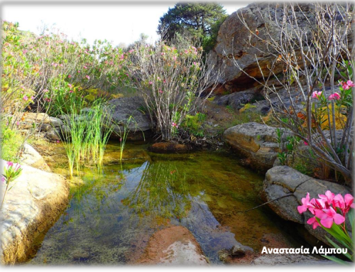
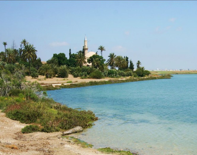
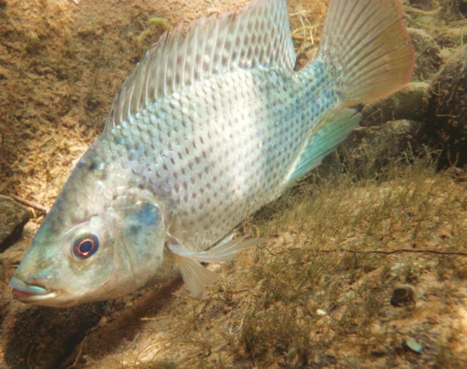
This assessment identifies 315 wetland sites for the first time on the island. 179 of these were detected in a mechanistic rapid procedure using Landsat 8 and another 136 were detected by a review conducted by the authors through the use of all available resources, including field investigations. The number of wetland sites is surprisingly large since it does not include micro-wetlands (under 2000 m2 or 0.2 ha) or widespread narrow lotic and riparian stream reaches. In Cyprus, a number of different wetland types occur and often in temporary or ephemerally flooded conditions and they are usually of very small areal extent. Most natural wetlands are on the coast and lowlands where anthropogenic pressures and water stress are high resulting in continuing fragmentation and degradation.
More detailed wetland survey work and efforts to promote their appreciation must continue on Cyprus and HCMR is very interested in lending support.
Initial aspects of the survey will be presented at the RSCy2014 in Paphos, Cyprus, 7-10 APRIL 2014 (‘Second International Conference on Remote Sensing and Geo-information of Environment’).
Reported by
Vassiliki Markogianni, Elli Tzirkali, Salih Gücel, Elias Dimitriou, Stamatis Zogaris

Complete survey results showing 315 wetland sites; note how many natural sites are primarily along the coast and in the lowlands (left).
Wetland sites detected solely by satellite remote sensing (n=179) and the 30 largest sites (encircled). Natural sites (in Green) are scarce; mostsites are irrigation reservoirs (right).