Project partners
Project partners National Institute of Chemistry – Slovenia (Coordinator) Institute of Oceanography and Fisheries – Croatia University of Tirana - Albania, Italian Institute for Environmental Protection and Research (ISPRA) – [...]
Project partners National Institute of Chemistry – Slovenia (Coordinator) Institute of Oceanography and Fisheries – Croatia University of Tirana - Albania, Italian Institute for Environmental Protection and Research (ISPRA) – [...]
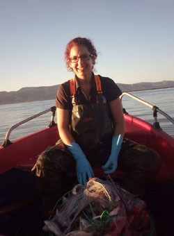
The main project outputs of the project include: Jointly adopted Guidelines for riverine litter monitoring in the Adriatic-Ionian region. A robust monitoring network for collecting riverine litter data will [...]
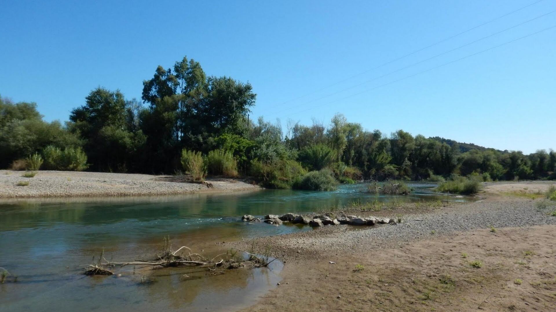
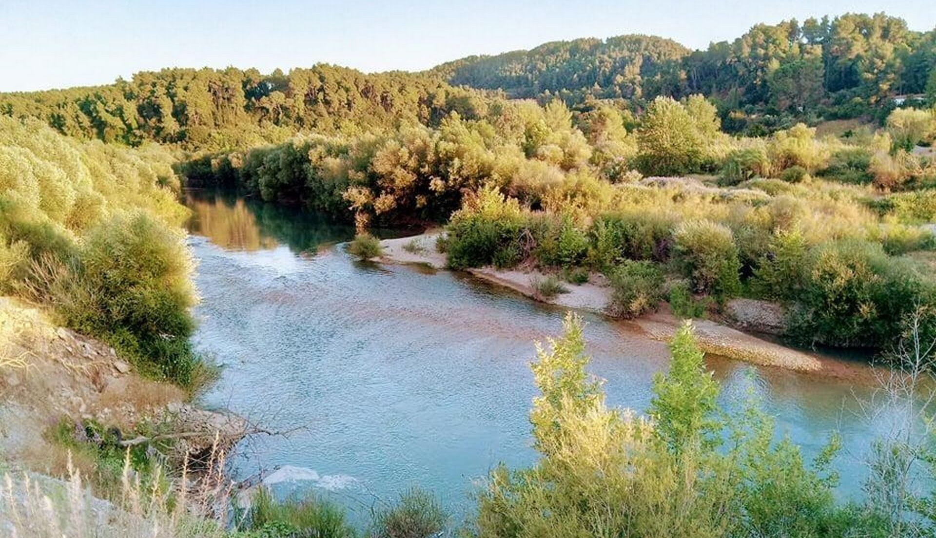
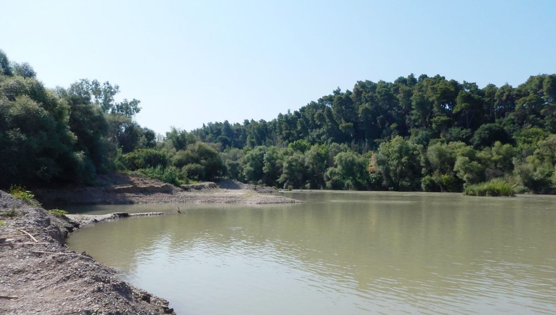
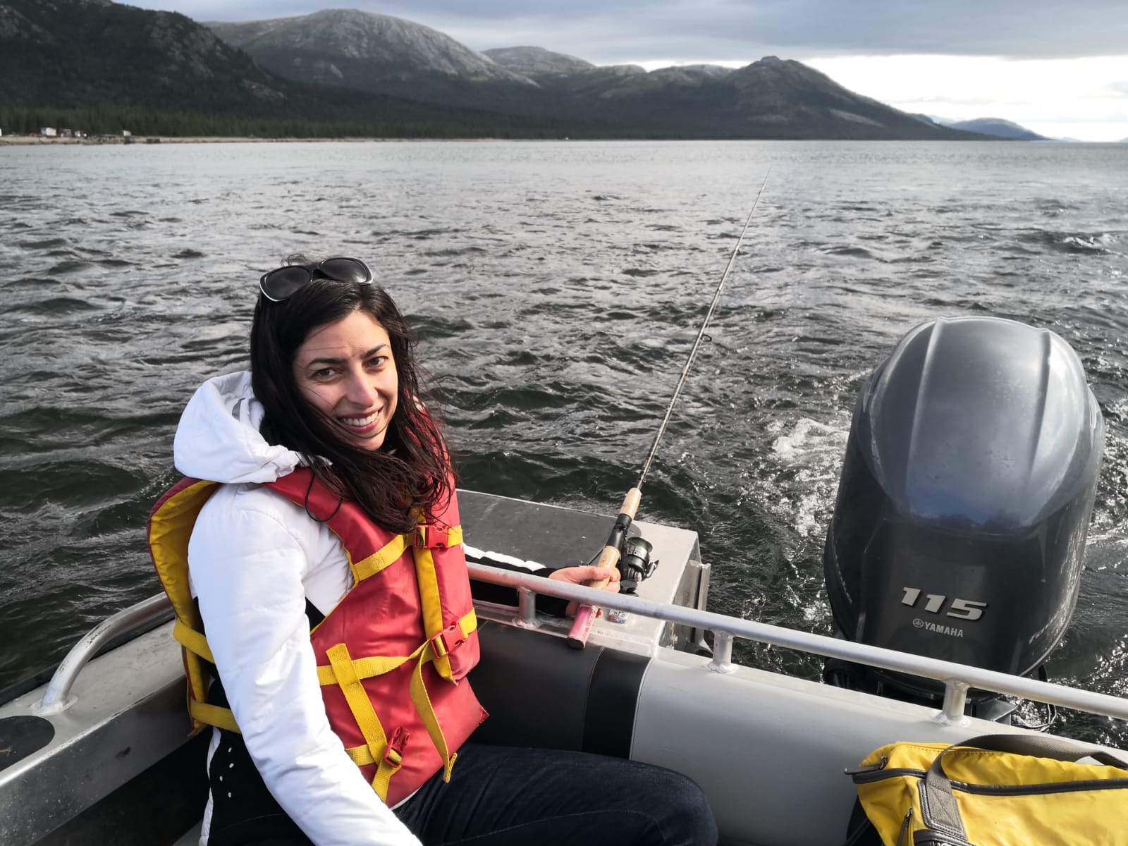
The overarching aim of the TETHYS4ADRION project is to investigate the role of rivers in contributing to marine plastic pollution in the ADRION region and to develop and deploy [...]
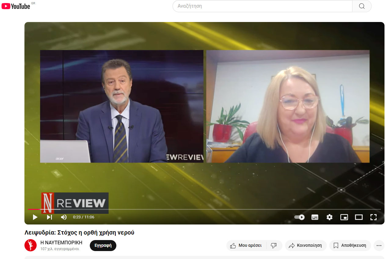
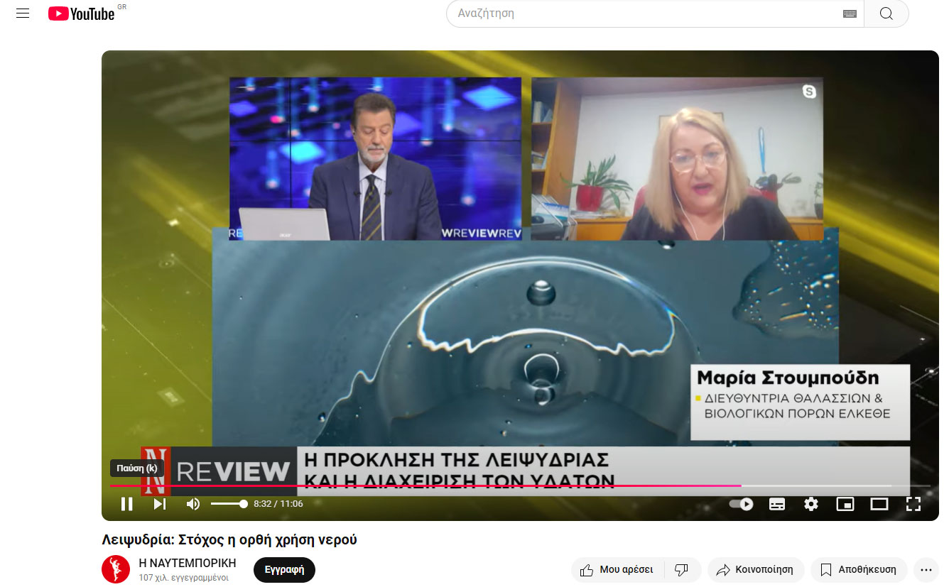
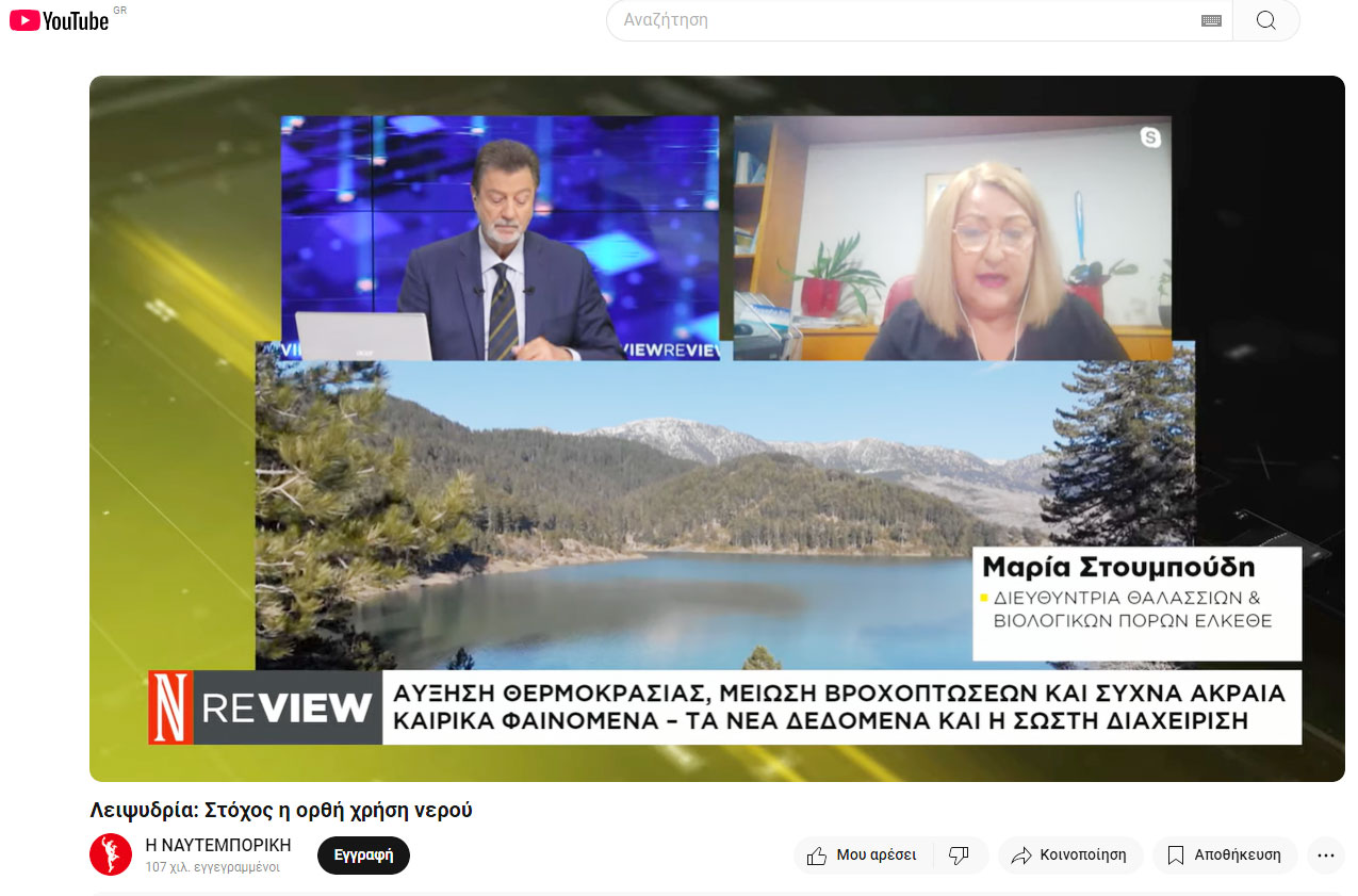
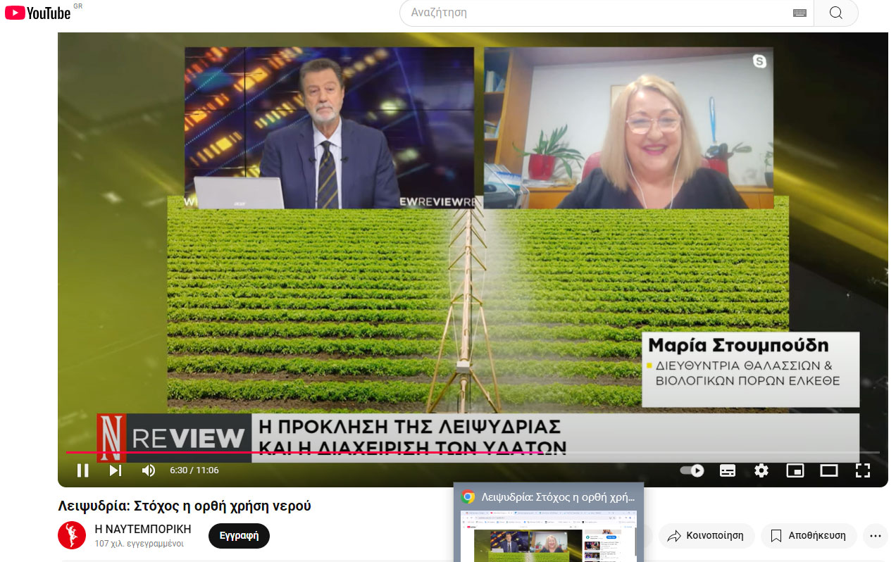
"Λειψυδρία: Στόχος η ορθή χρήση νερού" Παρακαλώ παρακολουθήστε εδώ

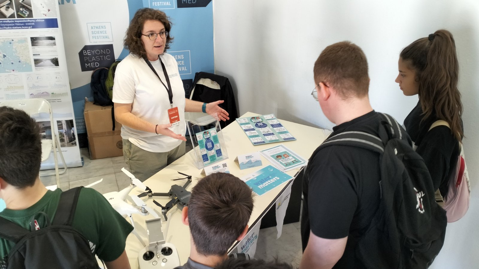

On April 18, the Institute of Marine Biological Resources and Inland Waters and the Educational Unit of Hellenic Centre for Marine Research participated in the 10th Athens Science Festival, [...]
BSc in Accounting and Finance, University of Macedonia, Thessaloniki, Greece (2004-2008) MSc in Planning & Development of Natural Resources/Forest Economics, Faculty of Forestry & Natural Environment, Aristotle University of [...]

BSc in Natural Resources Management & Agricultural Engineering, Agricultural University of Athens (1997-2002) MSc in Water Resources Science and Technology, National Technical University of Athens (2002-2004) PhD in Hydrology, [...]
B.Sc. in Aquaculture & Fisheries, Technological Educational Institute of Messolonghi (2002) M.Sc. in Sustainable Management of Aquatic Environment (2013). Department of Ichthyology and Aquatic Environment, School of Agricultural Sciences, University of [...]
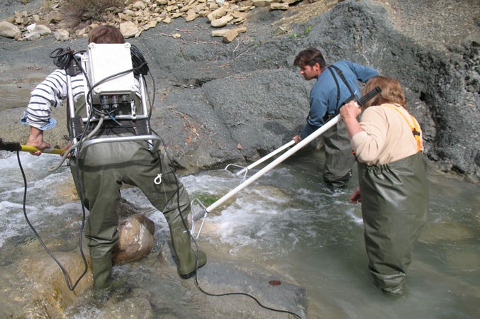
Starting/ending date: 15/6/2012-31/12/2015 Financing: 301.242,62 € National project Inland Waters Monitoring the ecological quality of rivers, coastal and transitional waters of Greece under the Article 8 of the WATER framework Directive 2000/60 [...]
BSc in Biology, School of Biology, Aristotle University of Thessaloniki (2011) MSc in Hydrobiology and Aquaculture, School of Biology, Aristotle University of Thessaloniki (2011-2014) PhD student, School of Rural [...]